Westerwald
Westerwald
Westerwald stretches as hill country between the river Sieg in the north and the river Lahn in the south and belongs in part to Hesse. Only the Rhenish area of Westerwald is presented in our museum. It has certain similarities to the Eifel, but in most places is not so forbidding and raw. Up to the end of the 18th century Westerwald was regarded as a wealthy region. It was rich in timber, had good commercial connections and the people kept a lot of cattle. Due to over-felling in the forest during the 19th century, however, great poverty arose. Many Westerwald citizens emigrated to America. But it is not possible to depict people’s misery in a museum.
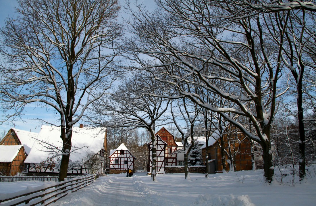
Forms of farmsteads and settlements
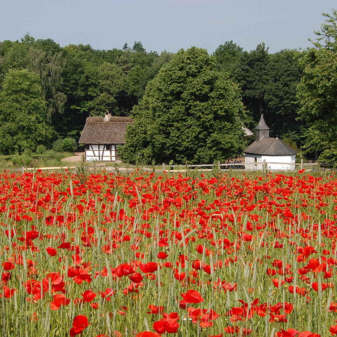
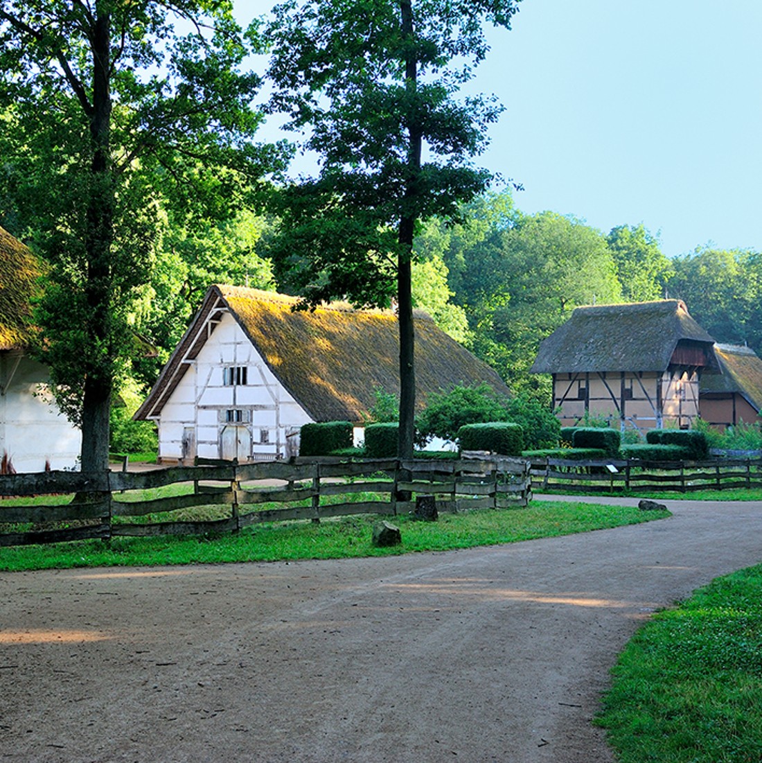
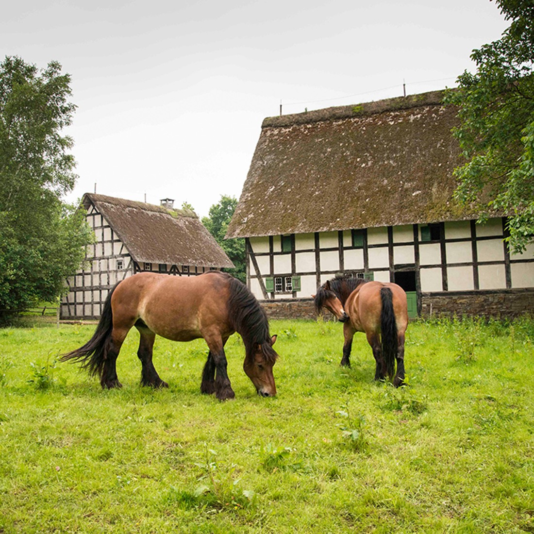
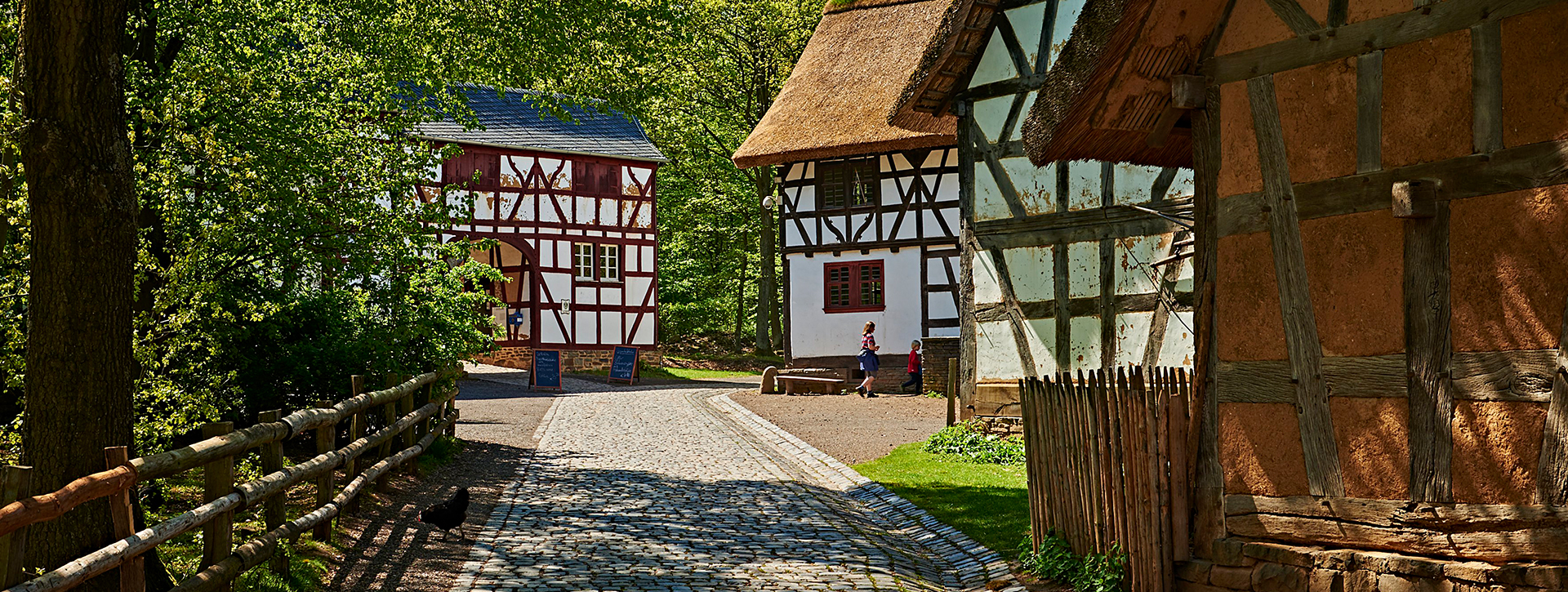
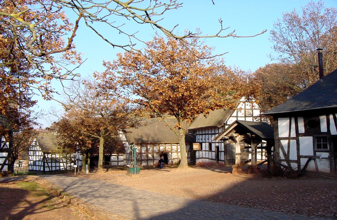
Westerwald is a typically German low mountain range. It is a region where people lived in villages. No widely scattered single farmsteads, nor any small hamlets, but more or less large villages became established here. The houses were built and jumbled together as villages, whose streets and alleys were correspondingly angular and irregular.
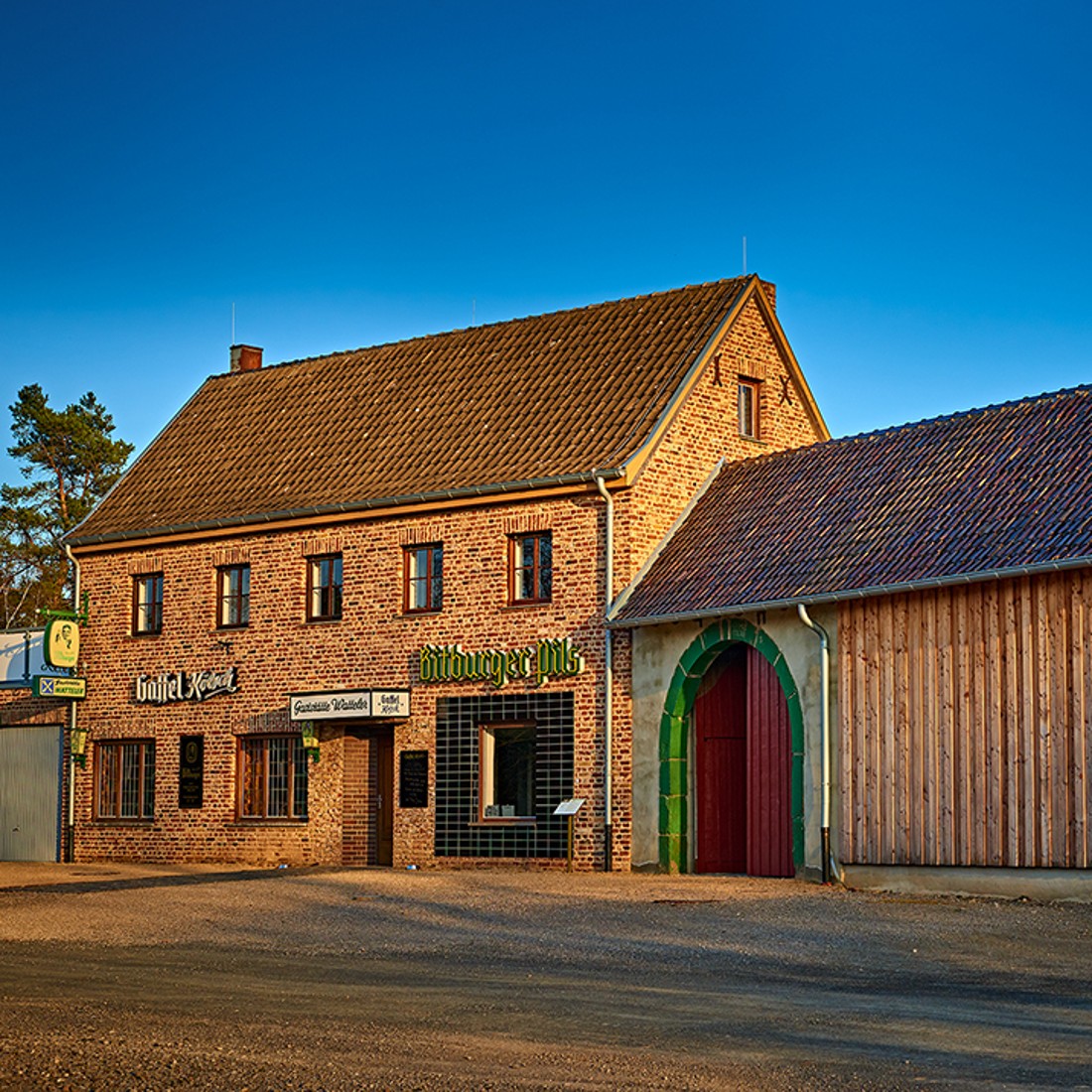
Westerwald ends where the Rhine cuts into the mountain range. The settlements in the Rhine valley – at the Middle Rhine between Bingen und Koblenz – differ from the villages in the hills, above all because there was less available space upon which to build. The fact that people lived there despite this had a lot to do with wine growing. Therefore you will also find a Rhenish wine-growing farmstead in the Westerwald Group of Buildings.
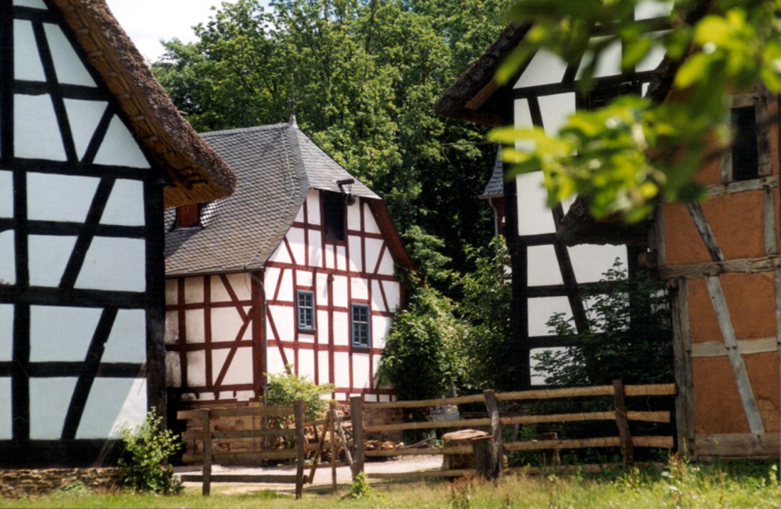
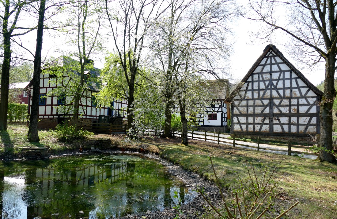
The buildings are clearly divided according to their different uses. In the past combining buildings, such as residence and stables, or barn and stables was the exception. For every function there was a separate, own building.
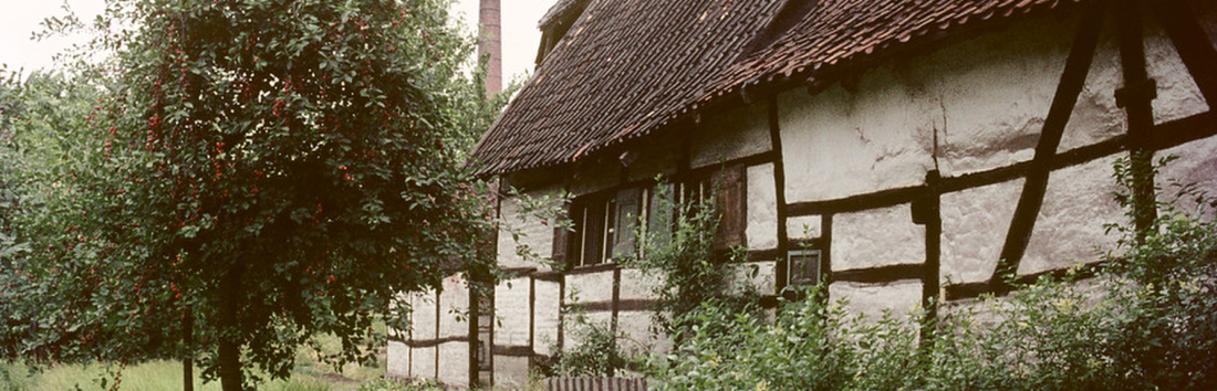
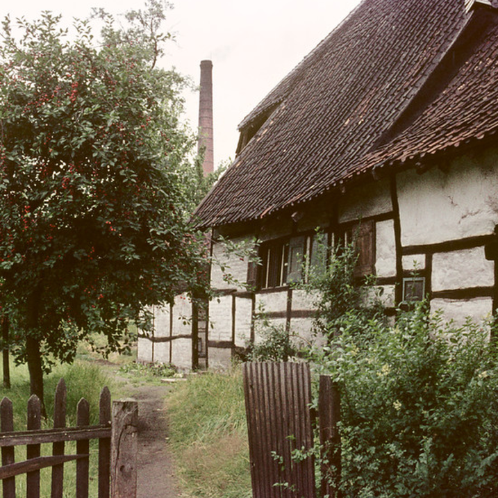
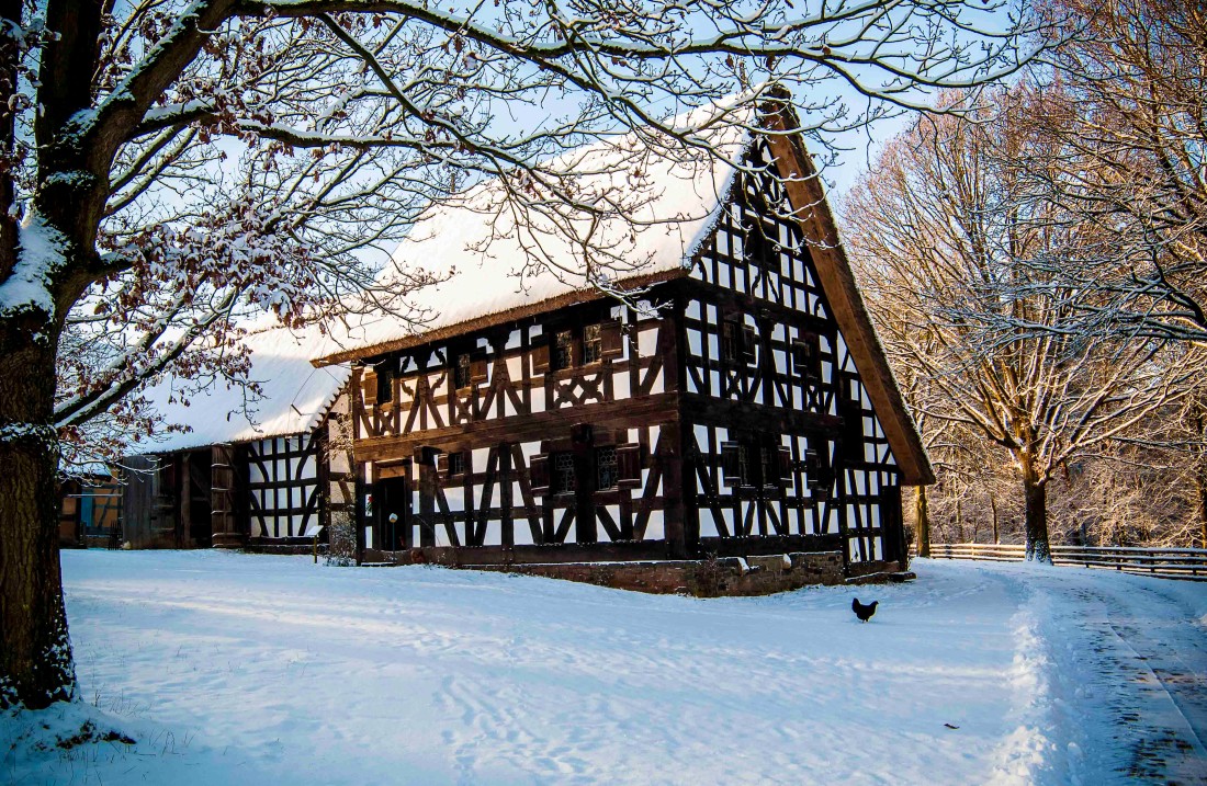
The oldest preserved Westerwald houses were originally „smoke-houses“ without smoke extraction through the roof. In the 17th century wooden chimneys were first mentioned in fire regulations.